-2")


The route runs for a long time through the alpine lawns of the mountain pastures. You will thus have plenty of time to observe the wild flowers that line them: cottongrass, anemones, gentians, trolls, ...
But you don't need to know the name of a flower to appreciate its beauty… Cows know how to appreciate them very well without knowing too much! They even get the best from it to make the good milk that will be used for Beaufort.
While listening to your observations, you will arrive at the Col de la Sauce. From there, to reach the refuge, you will take the famous Crête des Gittes trail. It was dug in 1912 by Alpine hunters, on the western slope of the ridge, in order to conceal troop movements from the Italian enemy.
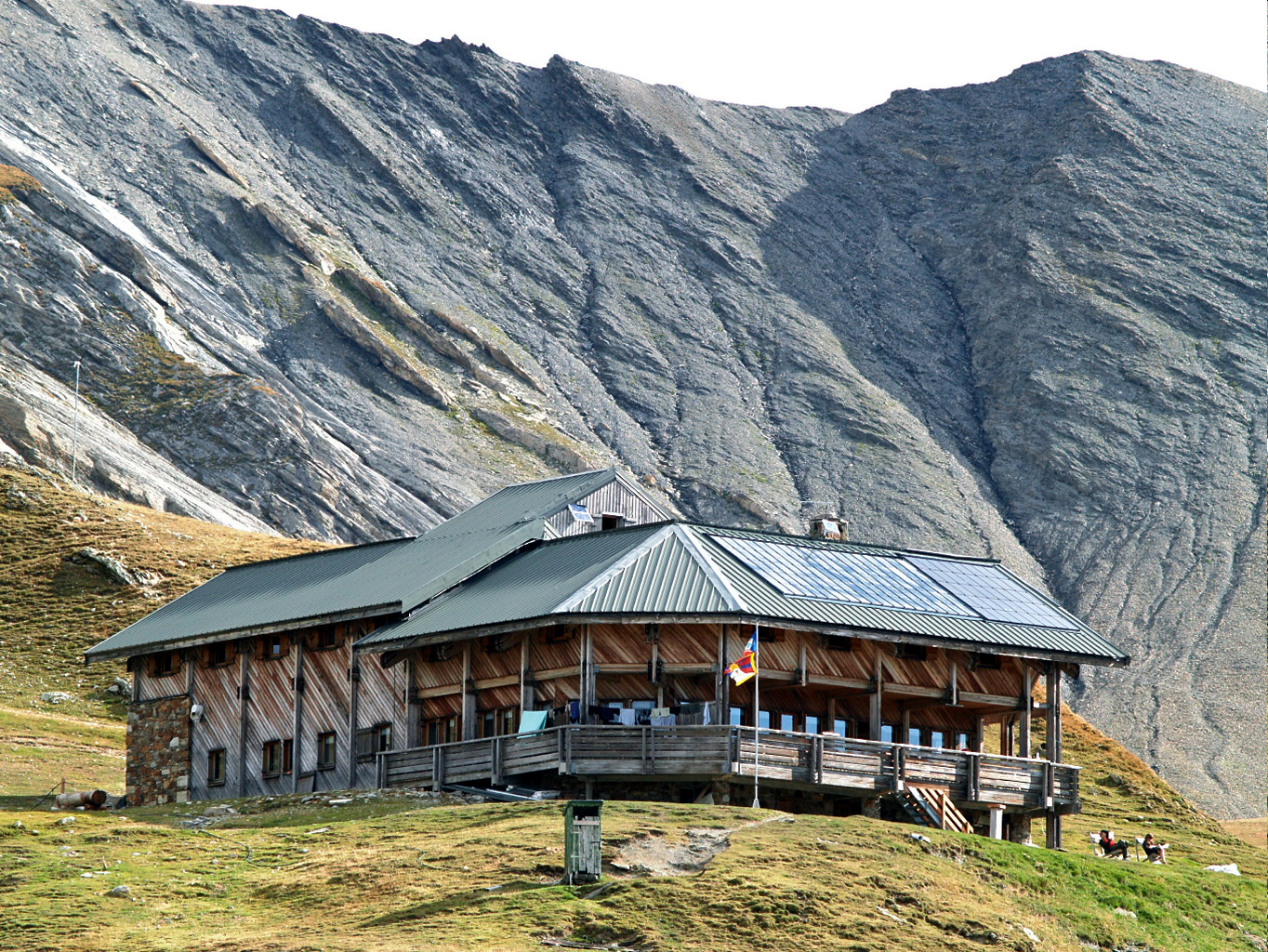
On arrival, the Col de la Croix du Bonhomme refuge awaits you, offering you both a splendid view and delicious organic and local cuisine.
Topo / step by step
Departure: The trail starts at the Plan de la Lai car park. 1/ Head towards Col de la Sauce and Col de la Croix du Bonhomme refuge. Follow the track that crosses 2 streams near the chalets then the path that rises through the mountain pastures, crossing a track several times to the Bel Air chalet. 2/ At Bel-Air continue to the Col de la Sauce (2307m) 3/ At the Col de la Sauce continue the path of the Gittes ridge to the refuge. 4/ At the Col du Bonhomme refuge, the return is via the same route. To extend the hike, it is possible to climb to the Tête Nord des Fours at 2756m where an orientation table is installed. Allow 1h15 more for the climb. Return by the same route.
History, culture and heritage
The Chemin de la Crête des Gittes was dug in 1912 by the battalions of Alpine hunters, on the western slope in order to conceal the passage of troops from the Italian enemy (at the time). The Cormet de Roselend site was the scene of many military clashes. The refuge meanwhile, located at the crossroads of several routes, the GR5 which joins Amsterdam to Nice, the tour of Mont Blanc and the Tour du Beaufortain welcomes many hikers. Built in 1922, destroyed and looted during the war, rebuilt in 1965 and enlarged between 1990 and 1992. its capacity is 109 people.
Opening
| From June 15 to October 15 | |
| Monday | Open |
| Tuesday | Open |
| Wednesday | Open |
| Thursday | Open |
| Friday | Open |
| Saturday | Open |
| Sunday | Open |
Equipments & services
This provider offers you